Aerial
Drone Imaging & Non-Survey Photogrammetry
Aerial imagery, orthomosaics, and terrain documentation for planning, communication, and project memory.
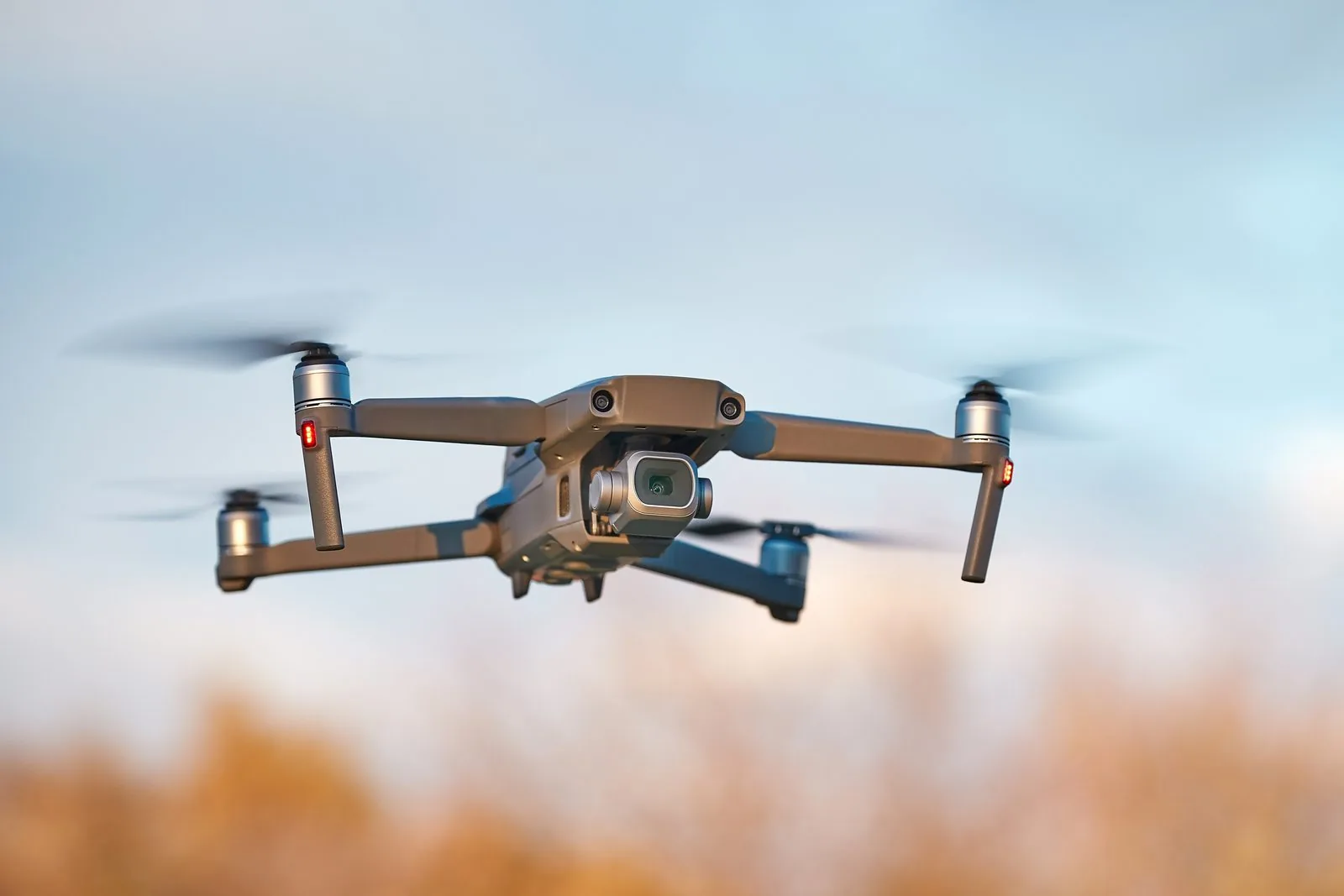
We produce aerial imagery, orthomosaic-style visuals, terrain documentation, erosion tracking, land-feature mapping, and restoration records. The deliverables give you a clear, repeatable visual record of a property, which is useful for planning meetings, before-and-after comparisons, contractor coordination, and analysis support.
Already own a drone? We consult on how to use it to build your own orthomosaic maps and aerial documentation. We walk you through flight planning, capture settings, and accessible processing tools, so you can produce clean, usable maps of your operation on your own schedule without a software subscription or a complicated workflow.
These services are intended for planning, documentation, visualization, and analysis support only. They do not and should not be construed as constituting licensed land surveying services.